
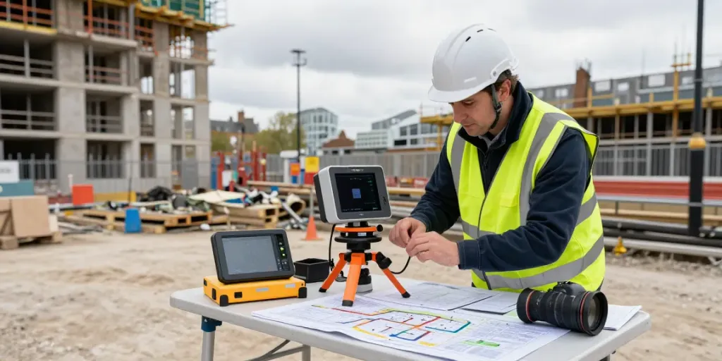
Understanding PAS 128 Standards for Utility Surveys
The importance of underground utility surveying cannot be overstated, especially in urban centres where the complexity of subsurface infrastructure poses significant challenges to construction and engineering projects. The PAS 128 standard provides a framework for effective utility detection and mapping, ensuring that stakeholders can make informed decisions based on accurate data. With the increasing demand for precise project planning, the need for reliable surveying methodologies such as the PAS 128 Survey London has never been more critical.
What Is a PAS 128 Survey?
A PAS 128 survey is a specification developed by the British Standards Institution (BSI) that outlines best practices for detecting and locating underground utilities. It encompasses various techniques and methodologies designed to ensure the accurate mapping of utility infrastructure. The standard categorises utility detection into four quality levels (QL), each providing a different degree of confidence regarding the accuracy and reliability of the data collected.
Key Benefits of Complying with PAS 128
Adhering to PAS 128 standards offers numerous advantages, including:
- Increased Safety: By accurately mapping utilities, the risk of accidental strikes during construction is significantly reduced, leading to safer working conditions.
- Cost Efficiency: Enhanced accuracy can reduce the likelihood of costly errors, rework, and project delays caused by unexpected utility conflicts.
- Improved Project Planning: Comprehensive utility mapping allows for better project design and planning, facilitating smoother workflows and optimising resource allocation.
- Accountability: The PAS 128 framework allows clients to hold surveyors accountable for the accuracy of data, fostering trust and professionalism within the industry.
Overview of Quality Levels in PAS 128
PAS 128 defines four quality levels (QL) to classify the accuracy of surveyed utility data:
- QL A: A detection method primarily involving the physical exposure of utilities, ensuring the highest accuracy.
- QL B: Utilises methods such as ground penetrating radar (GPR) to identify utilities, providing a high degree of confidence, albeit with potential limitations.
- QL C: Involves surface-level survey techniques, such as visual inspections or utility maps, which offer basic information but with lower accuracy.
- QL D: Involves desktop studies and historical data, presenting the least reliable classification and serving primarily for preliminary assessments.
Essential Techniques for Accurate PAS 128 Surveying
To achieve the best outcomes from PAS 128 surveys, it's essential to employ specialised techniques and adhere to industry best practices.
Utilising Ground Penetrating Radar (GPR)
Ground penetrating radar (GPR) is one of the most effective methods for locating underground utilities. This non-destructive technique uses radar pulses to image the subsurface, allowing surveyors to detect changes in material properties that indicate the presence of utilities. GPR is particularly valuable in urban environments where traditional excavation methods may not be feasible.
Best Practices for Field Data Collection
Proper field data collection is crucial for delivering results that meet PAS 128 standards. Key best practices include:
- Thorough Pre-Survey Planning: Before conducting a survey, planning is essential. This involves gathering existing utility records, understanding site conditions, and coordinating with local utility companies.
- Utilising Multiple Survey Techniques: Combining various methods, such as GPR, electromagnetic induction, and manual exposure, can enhance the accuracy of the survey.
- Consistent Data Logging: Accurate logging of data during the fieldwork is critical. Surveyors should ensure that all findings are documented precisely to avoid discrepancies during data interpretation.
Interpreting Survey Data Effectively
The interpretation of survey data plays a vital role in determining the accuracy and usability of the information collected. Surveyors must analyse GPR results meticulously, recognising potential anomalies and differentiating between actual utilities and false readings. Proper training and experience are essential for effective data interpretation, ensuring that survey results are reliable and actionable.
Common Challenges in PAS 128 Surveys
While PAS 128 surveys offer numerous benefits, several challenges can arise during the surveying process. Identifying these issues is crucial for successful outcomes.
Overcoming Misconceptions About Survey Accuracy
A common misconception surrounding PAS 128 surveys is that they provide absolute certainty regarding the locations of utilities. In reality, while the standard significantly enhances accuracy, factors such as environmental conditions and existing documentation can affect results. It's essential for surveyors to communicate these limitations to clients to manage expectations effectively.
Addressing Utility Mapping Complexities
Utilities can often be complex, with overlapping infrastructures and multiple ownerships complicating accurate mapping. Collaborating with multiple stakeholders, including utility providers, is crucial for ensuring comprehensive data collection and validation.
Managing Client Expectations During Surveys
Clear communication with clients about the process and potential outcomes of PAS 128 surveys is essential. Setting realistic expectations helps avoid misunderstandings and ensures that clients understand the limitations inherent in utility detection processes.
Case Studies of Successful PAS 128 Implementations
Examining real-world applications of PAS 128 surveying can provide valuable insights into its effectiveness and advantages.
Exemplary Projects in Urban Environments
Several urban projects have successfully implemented PAS 128 standards, resulting in improved project outcomes. For example, a recent infrastructure development in central London utilised PAS 128 surveys to locate numerous buried utilities accurately. This proactive approach allowed for the efficient re-routing of services, significantly reducing project delays.
Innovative Solutions for Common Surveying Issues
In one instance, a construction project faced challenges due to conflicting utility maps. By applying PAS 128 methodologies, surveyors were able to reconcile discrepancies in the data, leading to the successful planning of the project without compromising safety or incurring additional costs.
Quantifying Cost Savings Through Accurate Surveys
Effective utility mapping through PAS 128 surveys can yield substantial cost savings. A case study in the telecommunications sector demonstrated that accurate utility detection could reduce excavation costs by as much as 30%, showcasing the financial benefits of investing in high-quality surveying services.
Future Trends in Utility Surveying: What to Expect in 2026
As technology continues to evolve, the future of utility surveying is becoming increasingly dynamic. Here are some anticipated trends for 2026.
The Role of Advanced Technologies in Future Surveys
Emerging technologies such as artificial intelligence (AI) and machine learning are expected to play a significant role in utility surveying. These advancements will enhance data analysis capabilities, allowing for quicker and more accurate interpretations of survey results.
Sustainability Practices in Utility Detection
With growing concerns over environmental impacts, sustainability practices are likely to become more integral to utility surveying. Techniques that minimise disturbance to the environment, such as non-invasive surveying methods, will be prioritised.
Preparing for Changes in Regulatory Standards
As the construction industry adapts to evolving regulations, surveyors must stay informed about changes to standards such as PAS 128. Continuous education and adaptation will be crucial for professionals to maintain compliance and deliver high-quality services.
What type of survey is required by PAS 128?
PAS 128 requires a comprehensive approach, often necessitating multiple types of surveys to ensure the accurate detection and mapping of underground utilities. The selection typically depends on project specifics and the level of detail required.
What is a PAS survey?
A PAS survey is a structured methodology for identifying and mapping underground utilities, defined by the PAS 128 framework. It sets criteria for data accuracy and reliability, aiming to mitigate risks associated with subsurface works.
How to choose a reliable PAS 128 survey provider?
Choosing a trustworthy PAS 128 survey provider involves considering their experience, qualifications, and adherence to best practices. Look for providers who have demonstrated competence in similar projects and have an established track record of compliance with PAS standards.
What equipment is used in PAS 128 surveying?
Common equipment used in PAS 128 surveys includes ground penetrating radar (GPR), electromagnetic locators, and other non-invasive detection technologies. Surveyors may also use manual techniques, such as potholing, to verify the presence of utilities.
What are the costs associated with PAS 128 surveys?
The costs of PAS 128 surveys can vary significantly based on project size, complexity, and location. Factors such as the technology employed and the level of detail required also play a vital role in determining overall expenses.